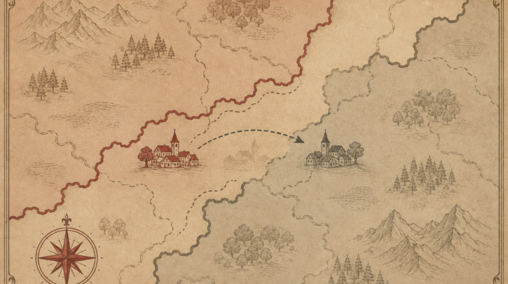

You have found the name of your ancestral village—but a search turns up nothing, or the place seems not to exist. The reason is almost always the same, and it is the defining feature of Hungarian genealogy: the borders moved. After the First World War, the Treaty of Trianon stripped the Kingdom of Hungary of two-thirds of its territory, and your village may now lie in a different country, under a different name. This guide shows you how to find it.
What Trianon did
In 1920, the Treaty of Trianon redrew Hungary’s borders dramatically. Vast regions of the historic Kingdom of Hungary were transferred to neighbouring states, taking millions of ethnic Hungarians—and all their villages and records—with them. The main territories and where they went:
- Transylvania and the eastern Banat — to Romania.
- Upper Hungary (Felvidék) — to Slovakia (then Czechoslovakia).
- The Vojvodina and parts of the Banat — to Serbia (then Yugoslavia).
- Carpathian Ruthenia (Kárpátalja) — now in Ukraine.
- Burgenland — to Austria.
- Croatia and the Muraköz — to Croatia / Slovenia.
If your family emigrated before 1920, they left from the old, larger Hungary—so their village, though “Hungarian” in their memory, may have been in what is now any of these countries for over a century.
Not sure where to start with your Hungarian ancestry?
Get the Hungarian Genealogy Quick-Start Checklist — a 6-step path to your first real ancestor record, plus how to work out which of six countries holds your family’s records today. No subscription required.
Place names changed too
When territory changed hands, villages were given names in the new country’s language, and the Hungarian name fell out of official use. The same place may have a Hungarian name, a German name, and a Romanian, Slovak, Serbian or Ukrainian name. A few well-known examples show the pattern: Kolozsvár is now Cluj-Napoca (Romania); Pozsony is Bratislava (Slovakia); Kassa is Košice (Slovakia); Szabadka is Subotica (Serbia); Ungvár is Uzhhorod (Ukraine). To find your village in modern maps and archives, you usually need its current name.
Locating the village tells you which archive holds its records. Once you know the country and modern name, head to the records hub and the FamilySearch guide.
The tools to locate your village
Several resources make this detective work manageable:
- Historic gazetteers — the Magyarország helységnévtára (gazetteer of Hungary), especially the 1913 edition, lists every settlement of the historic Kingdom with its county and district, and is the standard tool for placing a village in the old administrative system.
- Place-name databases — tools that map old Hungarian names to modern successor-state names, so you can move from Kolozsvár to Cluj-Napoca and back.
- The old county (megye) system — knowing your village’s historic county helps confirm its identity, since several villages may share a name.
- Maps — historic and modern maps (many free on Hungaricana and elsewhere) to pinpoint the location and its surroundings.
Why this step is essential
Locating your village across the borders is not a formality—it determines where the records are. A village now in Slovakia may have its civil records in a Slovak archive and its church records filmed by FamilySearch; one now in Romania may require approaching a Romanian county archive. Knowing the modern country and name tells you which catalogue to search and which archive to contact, and it lets you find the place on a map for a future heritage trip. Get this step right, and the records—wherever they now reside—come within reach.
Working with historic gazetteers
The single most useful tool for placing a Hungarian village is a historic gazetteer, above all the Magyarország helységnévtára—the gazetteer of the Kingdom of Hungary—in editions such as that of 1913, just before the borders changed. A gazetteer lists every settlement with its county (vármegye) and district, often noting the parishes and the religions present, which helps you confirm a village’s identity, distinguish it from same-named places, and learn which denominations kept registers there. Starting from the gazetteer entry, you can then trace the village forward to its modern name and country.
This matters because Hungary had—and the historic Kingdom certainly had—many villages sharing a name. Knowing the historic county is often what lets you tell them apart, and the county also tells you which successor state most likely holds the records today, since the 1920 partition followed broad regional lines. A village name alone can mislead; a village name plus its county is usually enough to pin down the exact place and its modern location.
From old name to modern archive
Once you have established the modern country and name, you know where to look. For many villages the records were filmed by FamilySearch and are viewable regardless of the modern border, which is the most convenient route. Where they were not, the relevant successor-state archive—a Romanian county archive, a Slovak state archive, and so on—becomes your target, each with its own access rules and, increasingly, its own digitisation projects. Either way, the chain is the same: old Hungarian name, to county, to modern name and country, to the archive or film that holds the records. Master that chain and the changed borders become a navigable puzzle rather than a dead end.